Blog
Topographical surveys are vital for industries like construction and mining. Traditionally, these surveys were time-intensive, requiring ground crews, specialised equipment,...
Operating in the high-stakes environment of oil and gas requires robust, reliable drone gear to ensure high quality data is...
Drone technology has revolutionised the world of topographical and mapping surveys, making it easier than ever to create detailed, accurate...
The Elios 3 just got an upgrade that’s all about safety. With the new flammable gas sensor payload, you can...
When you’re working in below-ground mining drone operations, ensuring you have the right equipment is key to staying safe while...
When you’re working in above-ground mining drone operations or on other sites, having the right tools on hand can make...
Flyability has released an update for its Inspector 5.0 software package bringing a number of updates to the data processing side...
Sphere Drones has witnessed the evolution of drone technology first hand since 2012 and the advancements it has brought across...
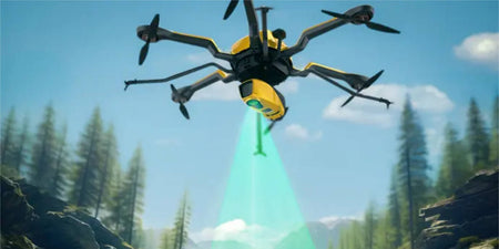
In the rapidly evolving field of surveying, the integration of Light Detection and Ranging (LiDAR) technology has emerged as a...
LiDAR technology on drones has gained significant attention in recent years, transforming industries from surveying to environmental management. While its...
Welcome to the second episode in our DJI Dock 2 series where we will explore the new Dock 2 and Matrice 3D...
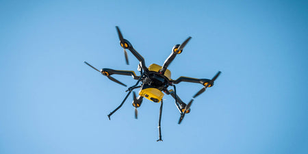
With Flyability’s Elios 3 becoming the essential indoor inspection tool since its release in 2022, the company has decided to...
Greetings from sunny Queensland! As we close out the fourth week of 'The Great Australian HubX Roadshow', our team has...
Embrace efficiency, accuracy, and safety with Sphere Drones Drones are set to transform the surveying landscape, making the process faster,...
Understanding the environment around you while operating a drone is crucial, including the geographical landscape. Whether you're flying within Visual...
Welcome to the first episode in our DJI Dock 2 series where we will explore the new Dock 2 and...
DJI has launched the DJI Zenmuse H30 and Zenmuse H30T hybrid payloads for its Matrice 300 and Matrice 350 enterprise...
By 2043, total commerical drone flights are projected to grow to 60 million flights each year Australia stands on the...
DJI Dock 2 is the company's latest entry into the Drone-in-a-Box market with a number of improvements and updates over...
DJI recently announced the DJI Dock 2 with some impressive improvements and quality of life changes over the Dock 1....
In the final part of our Navigator Series we shift our focus to the advanced CloudStation software and how it...
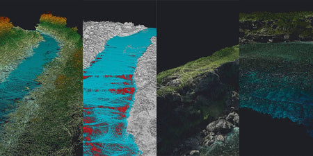
In the second part of our Navigator blog series we delve into the bathymetric LiDAR’s diverse range of use cases...
Following the recent launch of the YellowScan Navigator, we thought it would helpful to delve into how bathymetric LiDAR technology...
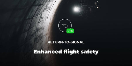
Flyability has announced its Return-To-Signal feature for the Elios 3, allowing the indoor inspection drone to return to the last...
Interested? Talk to our team
For inquiries or more information, please fill out the form below, and our team will contact you as soon as we can.


