Couldn't find what you were looking for?

We'd be happy to help out! Get in touch using the enquiry form below.

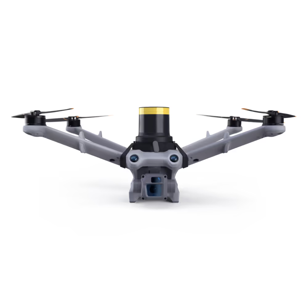
WingtraOne GEN II

A mapping drone for fast and accurate surveying data every time

The WingtraOne mapping drone’s unique set of features empowers you to minimise your time flying and get more work done, be it another project in the field or analysing your data at the office.

Flight time up to

59 min*

Full-frame camera

61 MP

Lowest GSD

0.7 cm/px

Horizontal accuracy

1 cm**

Coverage at lowest GSD

110 ha***

Coverage in a single flight

 360 ha

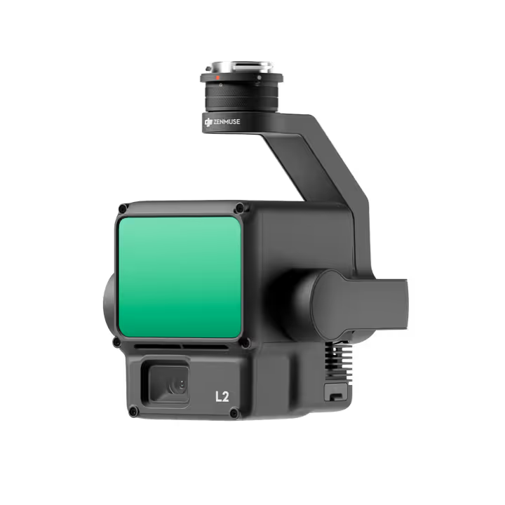
LiDAR up to

270 pts/m2

Vertical accuracy

3 cm

Talk to us about WingtraOne GEN II

For inquiries or more information, please fill out the form below, and our team will contact you as soon as we can.

Talk to us about WingtraOne GEN II

For inquiries or more information, please fill out the form below, and our team will contact you as soon as we can.


Download brochure for WingtraOne GEN II

Download technical specifications for WingtraOne GEN II

* WingtraOne’s maximum tested flight time is 59 mins. However, the flight time of any drone is influenced by many factors and should not be expected to be uniform.

** Using the RGB61 or Sony RX1R II camera and a PPK module. This level of accuracy is achievable under optimal conditions, on hard surfaces, using a well-established base station or correction data from CORS network. The results can be validated with high-accuracy checkpoints.

*** You should expect different results depending on environmental conditions and flight parameters. Specifically, temperature, altitude above sea level, side overlap, wind speed and transition altitude affect the behavior of drones and the flight time.