This guide breaks down everything you need to know about LiDAR drones in one go. Whether you're exploring LiDAR for the first time or looking to level up your current setup, this guide covers it all from the basics to in-depth payload comparisons.
You'll get a clear understanding of what LiDAR is, why it's become a go-to tool across industries, and how to choose the technical setup for your needs.
Don’t miss out on this comprehensive guide. Download your free copy of Unlocking LiDAR: The Buyer’s Guide to LiDAR Payloads in Australia and start making smarter decisions today.
LiDAR technology has moved from being a niche, high-cost tool to a must-have for a wide range of industries. With drone-mounted LiDAR payloads now smaller, more affordable, and easier to deploy, Australian businesses are using them to simplify complex site mapping and cut down the time and cost of data collection.
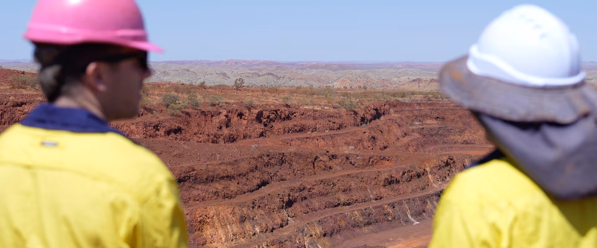
Industries like mining, construction, and environmental management are putting LiDAR to work in all kinds of environments, from dense forests to dusty mine sites:
With precise data and faster workflows, LiDAR drones are helping businesses across Australia plan better, respond quicker, and reduce time spent on-site.