On a 3,800-hectare sugarcane property in Queensland's Burdekin region, every operational decision, harvesting, transport, irrigation, maintenance, depends on one thing: knowing the land.
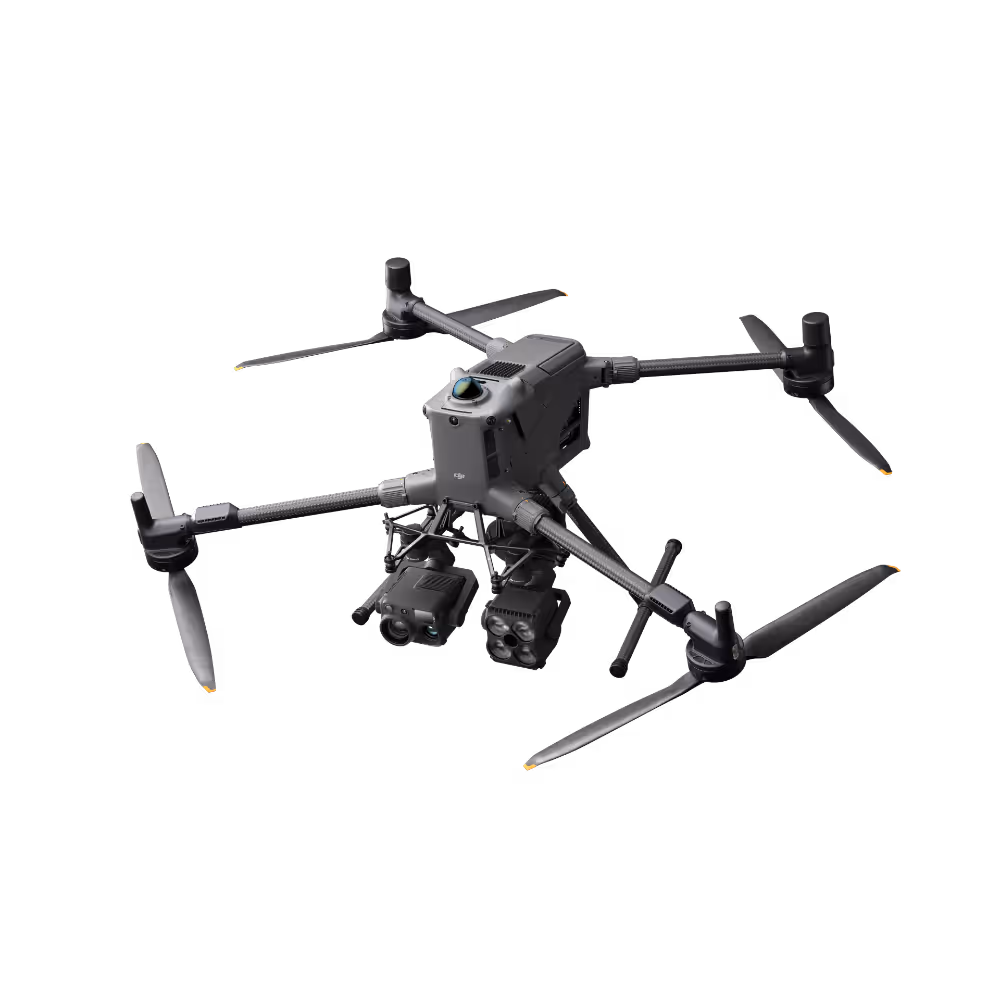
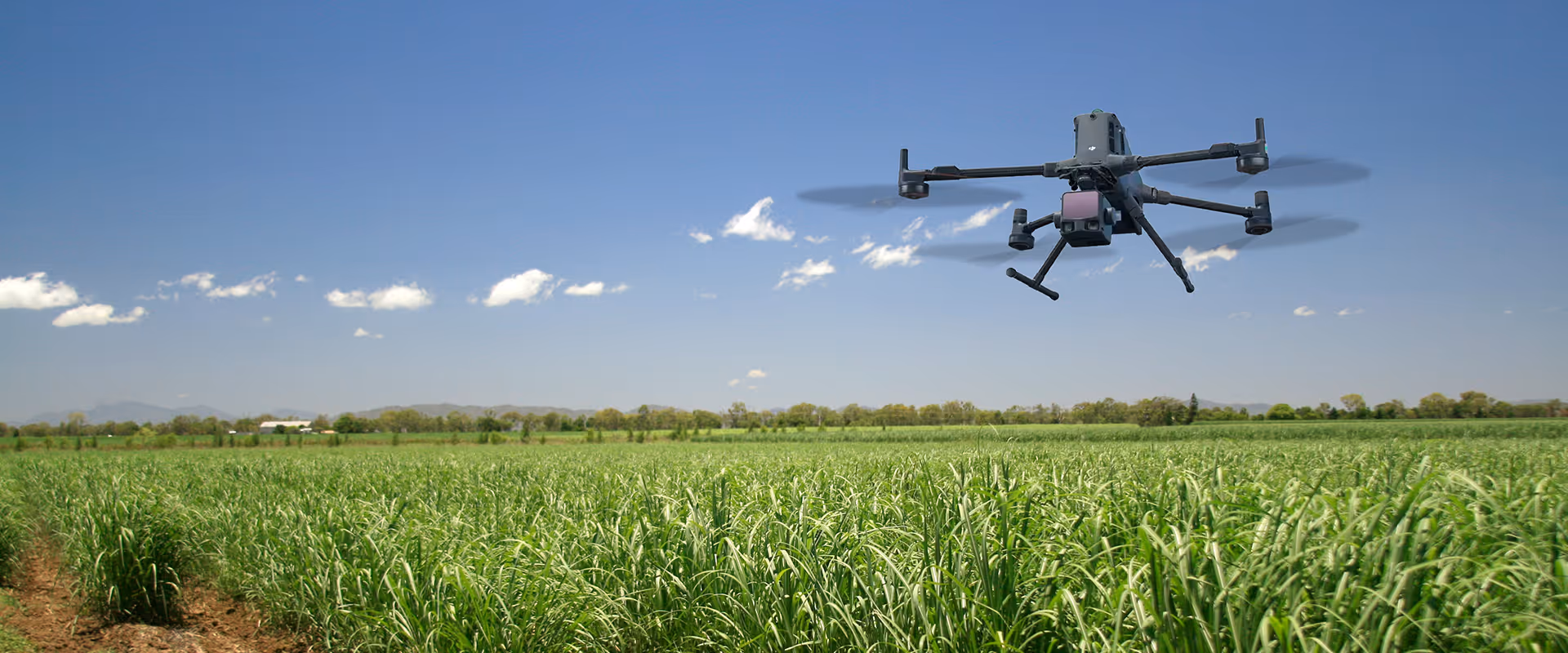
A LiDAR drone-mapping workflow built around the DJI Matrice 400 and Zenmuse L3 has cut full-property survey time from two weeks down to approximately two days, changing how the property's management team plans and acts.

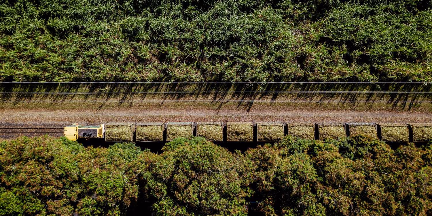
Sugarcane is a demanding crop. Burdekin properties routinely stretch across thousands of hectares of flat-to-undulating terrain, intersected by irrigation channels, farm roads, and drainage infrastructure.
Getting meaningful visibility across an estate of this size, quickly, reliably, and at a level of detail that actually supports planning, has historically been a significant constraint.
Traditional ground surveys and manual fieldwork are slow to scale. Teams can only cover so much ground in a day, and difficult-to-access areas often mean the data captured is incomplete or delayed.
For a property of this scale, those gaps have real consequences: road access problems go undetected, drainage issues aren't identified until they affect yield, and mechanisation planning is based on assumptions rather than measured terrain.
The management team needed a better way to understand their land, not just at a surface level, but beneath the canopy and across the terrain in detail precise enough to support infrastructure decisions.
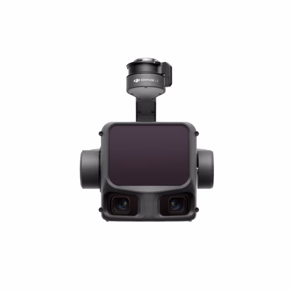
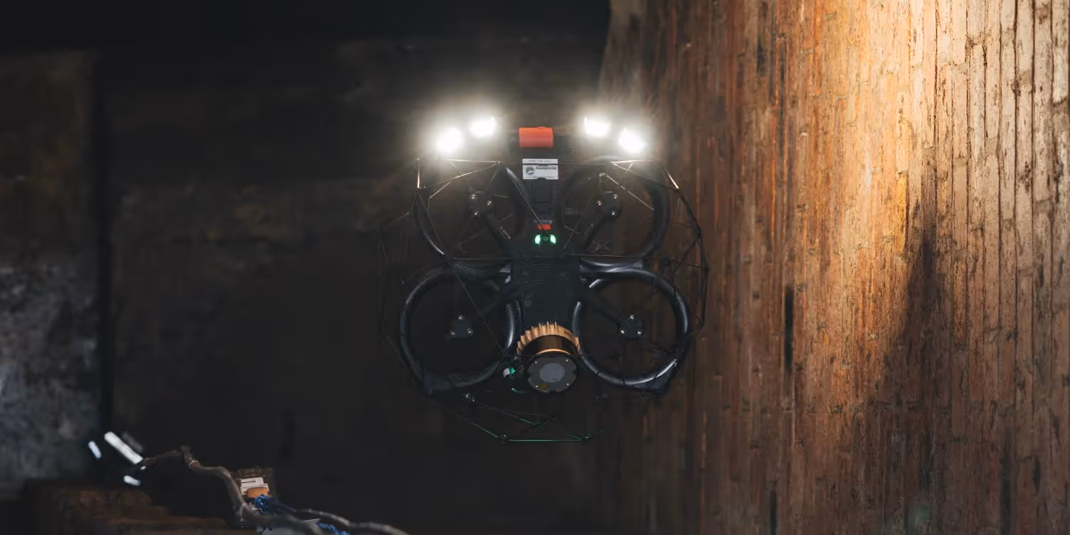
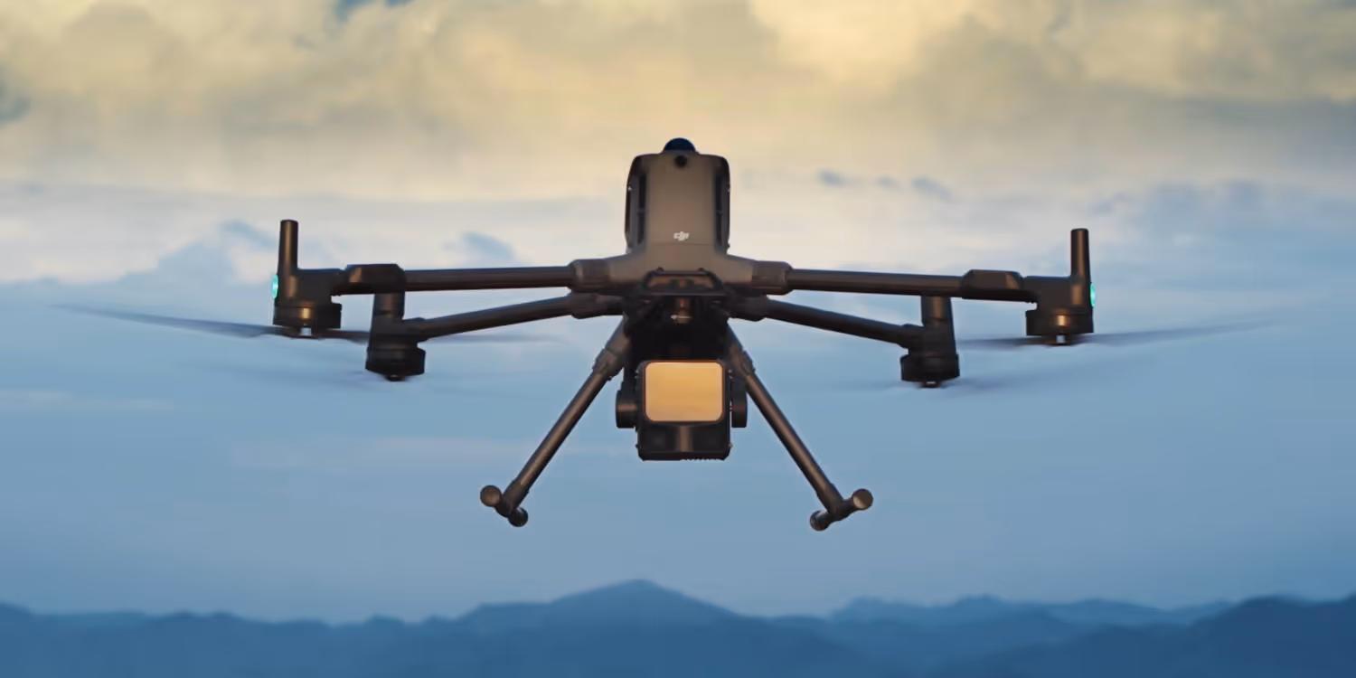
The property adopted a LiDAR drone-mapping workflow centred on the DJI Matrice 400 carrying the Zenmuse L3 LiDAR payload.
The goal wasn't simply to map the property, it was to understand it at a level of detail that traditional methods couldn't provide.
The Matrice 400's extended flight endurance and payload capacity made it well-suited to covering large blocks efficiently. Combined with the Zenmuse L3's long-range, high-density point cloud capture, the system could complete approximately 1,000 hectares per survey session across two flights of around 40 minutes each.
The workflow was clearly defined:
Mature sugarcane can reach three to four metres in height, effectively masking the terrain below from conventional aerial photography.
The Zenmuse L3's LiDAR capability cut through canopy cover to return detailed ground-level point cloud data, revealing drainage patterns, undulations, and access constraints that simply weren't visible before.
This changed how the team approached mechanisation planning. Rather than working from assumptions about what was accessible, they could now identify specific terrain conditions that would need modification to support harvesters and transport equipment, and plan those works based on measured data.
DTM and contour data enabled the team to trace natural water flow across the property and identify areas where drainage infrastructure wasn't aligned with actual terrain.
Hanging terraces, elevated sections that hold water rather than draining it, could be detected and addressed before they caused erosion or affected access.
The result: drainage improvements could be planned on the basis of actual terrain, not approximations. That reduces both the cost of the works and the likelihood of having to revisit them.
Orthophotos combined with contour data gave the operations team a clear view of where roads existed, where they were degraded, and where new access routes were needed.
Roads built on high ground drain better and erode more slowly, LiDAR data made it possible to plan those alignments precisely rather than by estimation.
For a property where vehicle access directly affects harvesting efficiency, having a reliable, up-to-date spatial picture of the road network is operationally significant.
Previously, achieving comprehensive terrain data across the full property required approximately two weeks of field survey effort.
With the Matrice 400 and Zenmuse L3 workflow, two flights per 1,000-hectare block, each approximately 40 minutes, the same coverage is now achievable in around two days.
When management can complete a full-property survey quickly, they can respond to changing conditions, whether that's a drainage failure, a road access issue, or an under performing block, with data rather than guesswork.
If you're managing large agricultural landholdings and want to understand how LiDAR drone mapping could work for your operation, Sphere can help you assess the right approach.