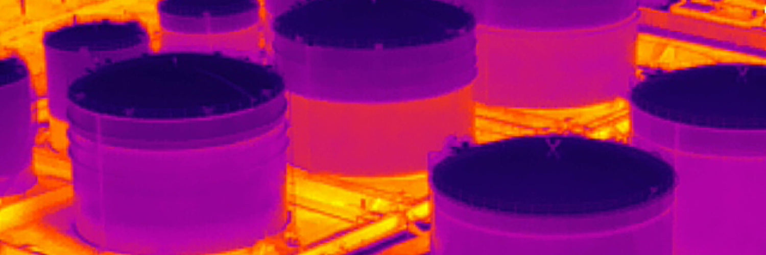
Thermography or thermal imaging is an application popular with drones thanks to its ability to detect the temperature difference in a frame, allowing it to be used across search and rescue operations, the construction industry, and more.
The history of thermal imaging
Thermography sensors date back to 1929 when a Hungarian physicist create the first sensor of its kind allowing electromagnetic radiation to be detected, which humans can only feel as heat.
Since then, thermography sensors have been further developed as the requirements have grown. This leads us to present day where we have sensors small enough to fit into sub 2kg drones and light enough to be used on PTZ heads for landborne drones.
Passive vs. Active
Thermal imaging sensors can often be used in two ways, passively or actively. Passive thermography uses the data in the scene to differentiate the temperature of different objects or materials. Active requires a point to be set, such as a boiler, which the temperature of the surrounding objects is then coloured using. This shows the relative temperature change to the selected point.
Radiometric vs. Non-radiometric
Radiometric thermal sensors are able to calculate the temperature of each individual pixel of the image, whereas non-radiometric sensors can only display a visual representation of the image.
Thermography in Australia: use cases (air, land, water)
Thermal sensors are used across many industries in Australia with specific uses in surveillance, search and rescue, detecting abnormalities, monitoring livestock, detecting pests, performing inspections and more listed below.
- Hot Spot Detection
- Solar Panel Inspection
- Telemedicine
- Conveyor Belt Inspection
- Stope Inspection
- Wind Turbine Inspection
- Tethered Traffic Monitoring
View all thermography use cases
The future of thermal imagery
Thermography sensors are already featured on inexpensive commercial level drones, such as the DJI Mavic 3T, making them more accessible than ever. With that said thermography sensors will only grow in popularity as time goes on with more utilisation in surveillance, search and rescue, and water management, agriculture to name a few as the resolution increases.
Image via DJI


