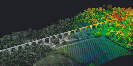
Hyperspectral imagery collects electromagnetic data across a broad spectrum, making it useful in detecting materials, processes, or finding objects. Hyperspectral imagery is different to multispectral imagery and is also known as imaging spectroscopy, the preferred name from NASA.
The history of hyperspectral imagery
Hyperspectral imaging sensors were first created in the 1970s by NASA's Jet Propulsion Laboratory and eventually made its way into commercial use cases as the technology has improved and become more affordable.
Hyperspectral imagery is now used in a number of key areas, including agriculture, waste management, surveillance, environmental management, and civil engineering. An important identifier for hyperspectral imagery is that it uses continuous and contiguous range of wavelengths, whereas multispectral imagery focuses on a subset of targeted wavelengths at chosen locations.
Hyperspectral imagery in Australia: use cases (air, land, water)
In the context of drones, hyperspectral imaging is used in five key areas, which are agriculture, environmental management, and civil engineering.
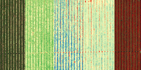
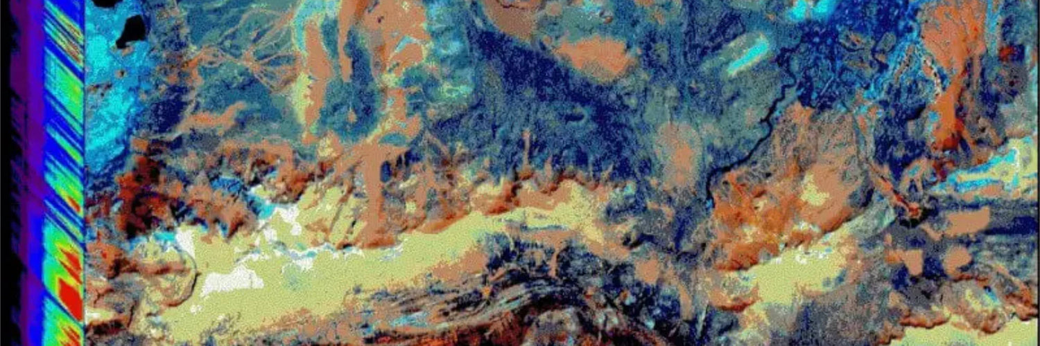
In agriculture, hyperspectral imaging is used to detect crop health and differentiate between different varieties. More examples include detecting the chemical composition of plants and detecting the coverage of pesticides across a field of crops.
Much like agriculture, environmental management utilises in a similar way, rather than focusing on crops, the wider environment is focused on, such as tree health, plant health, overall ecosystem health, along with emission monitoring from coal powerplants, hazardous waste plants, cement plants, and more.
View all hyperspectral imagery use cases
The future of hyperspectral imagery
Due to the nature of hyperspectral imagery capturing the full spectrum, requiring no prior knowledge for the pilot to capture the correct (data is pulled out in post-processing) data, its use will continue to grow throughout the roving technology space.
To ensure its continued growth in the agriculture, waste management, surveillance, and other sectors, continued investment into making the sensors more affordable and post-processing workflow less intensive will be a key factor.