Related products

Flyability
Flyability - ELIOS 3 Standard Battery Charger - 150 VA
A$325.00
Enquire now
Flyability
Flyability - ELIOS 3 Standard Battery Charger - 150 VA
A$325.00
Enquire now
SPH Engineering
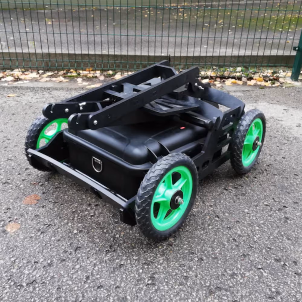
RadSys Cart for Terrestrial Surveys
A$3,135.00
Enquire now
SPH Engineering
RadSys Cart for Terrestrial Surveys
A$3,135.00
Enquire now
DJI
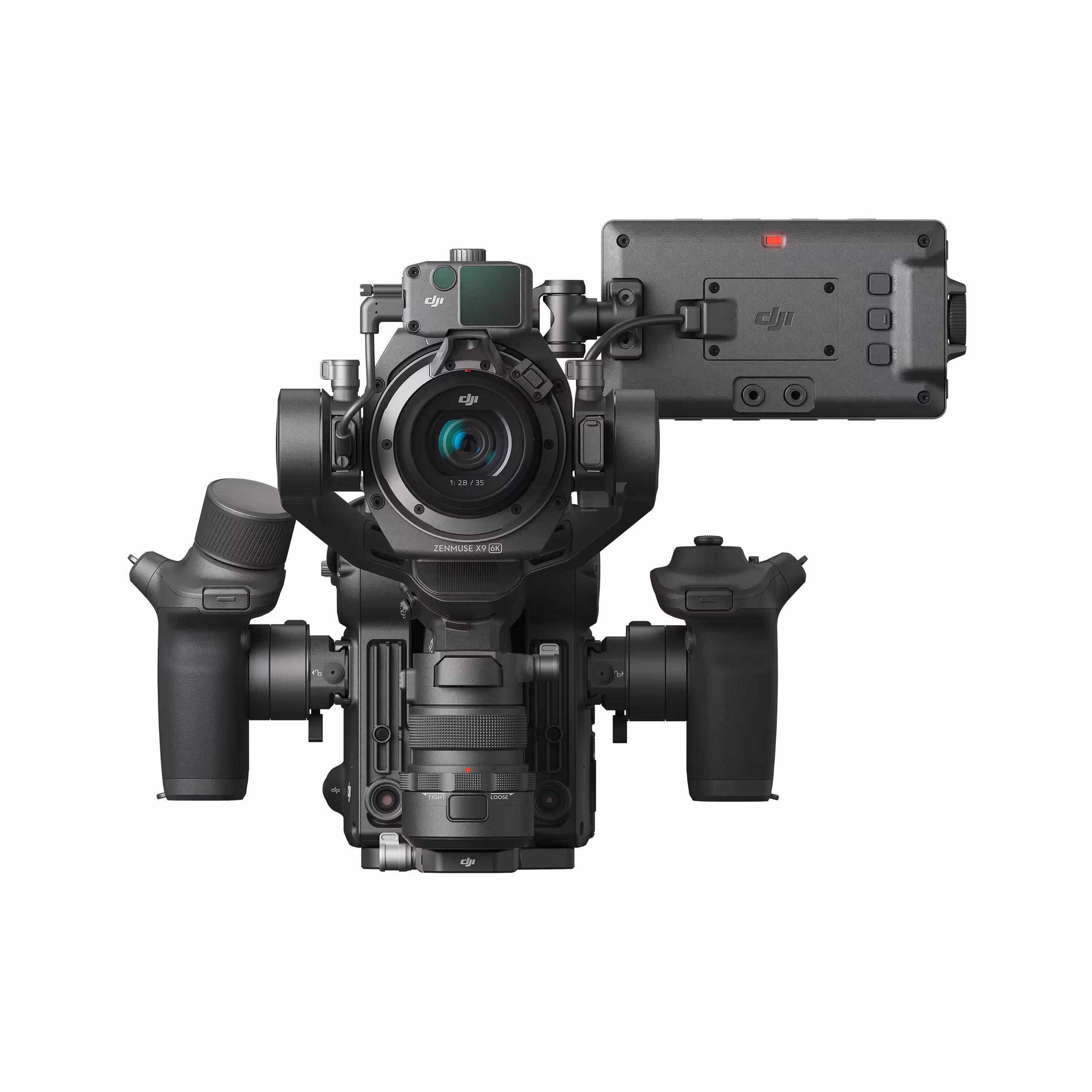
DJI Ronin 4D 4-axis Cinema Camera 6k Combo
A$10,699.00
Enquire now
DJI
DJI Ronin 4D 4-axis Cinema Camera 6k Combo
A$10,699.00
Enquire now

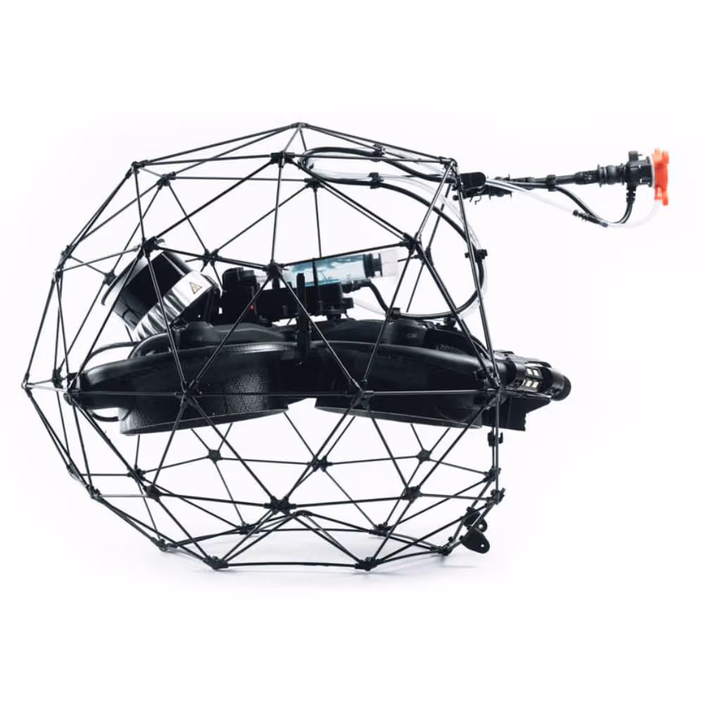
Flyability
Flyability Elios 3 - Cage Bottom Hexagon
A$242.00
Enquire now
Flyability
Flyability Elios 3 - Cage Bottom Hexagon
A$242.00
Enquire now

Collections:
No related collections have been found.