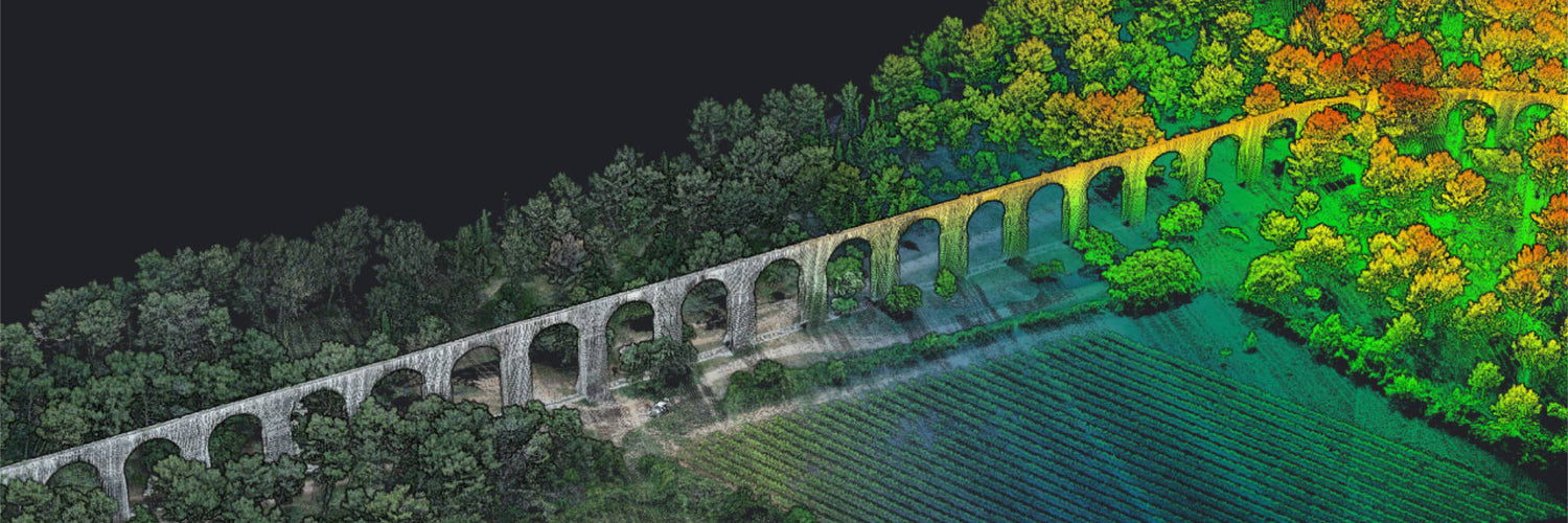
LiDAR, also known as laser imaging, detection, and ranging is a method of determining the distance from an object by measuring the time it takes for a laser to hit the receiver. LiDAR is often used to create 3D models or digital twins of the real world.
The history of LiDAR
LiDAR dates back to the 1930’s with the first attempts using headlights to try and study the structure of the atmosphere, eight years later, light pulses were used to measure the heights of clouds. Since then, LiDAR payloads have come along way and have been used on the ground and in the air for many years.
LiDAR in Australia: use cases (air, land, water)
Due to its flexibility LiDAR has a large number of use cases across air, land, and water throughout Australia. The first category of use cases consists of capturing data for later analysis, this includes:
- Stope Inspection
- Conveyor Belt Inspection
- Tailings Dam Monitoring
- Stockpile Monitoring
- Wind Turbine Inspection
- Dry Sewer Inspection
- Pit Calculation
- Processing Facility Inspection
- Ground-based Site Documentation
- Ground-based Interactive Inspection
- Ground-based Powerline Inspection
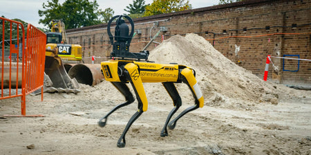
The other use case for LiDAR is to help with navigating environments. Currently, equipping Spot with the Enhanced Autonomy Package (EAP) allows it to create more in-depth and larger maps up to 100 metres away of the environment around it.
The future of LiDAR
As LiDAR units continue to become more accessible as a result of a reduction in cost, size, and complexity, along with its ability to capture an enormous amount of high accuracy data in a short amount of time.
As a result of this we can expect to see LiDAR being used just as often as vision-only payloads, if not more as more people are exposed to LiDAR and its many benefits.


