Related products

Sentera
Sentera - Custom Analytics (Software Only)
A$0.00
Enquire now
Sentera
Sentera - Custom Analytics (Software Only)
A$0.00
Enquire now
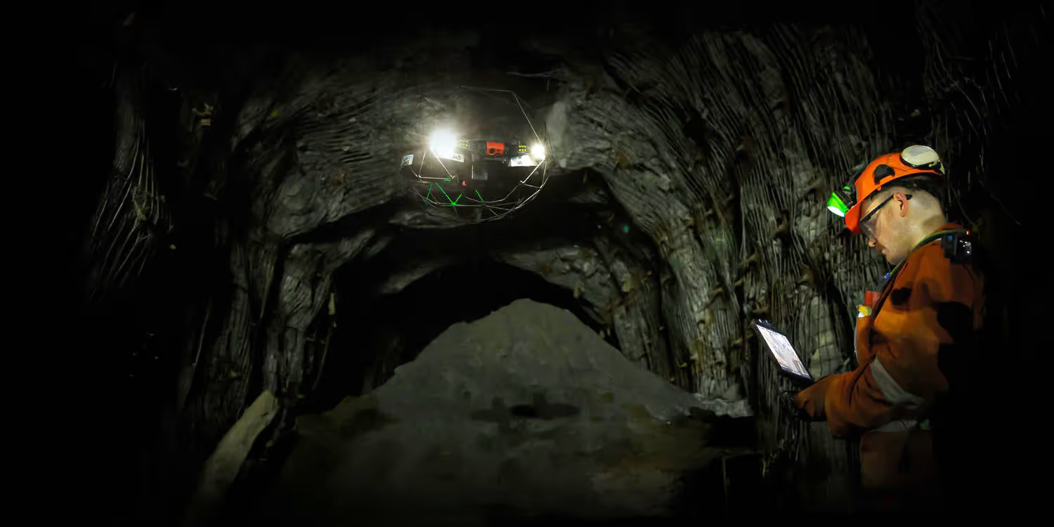
Flyability
Flyability Elios 3 - Transport Case and Tool Kit
A$1,558.00
Enquire now
Flyability
Flyability Elios 3 - Transport Case and Tool Kit
A$1,558.00
Enquire now
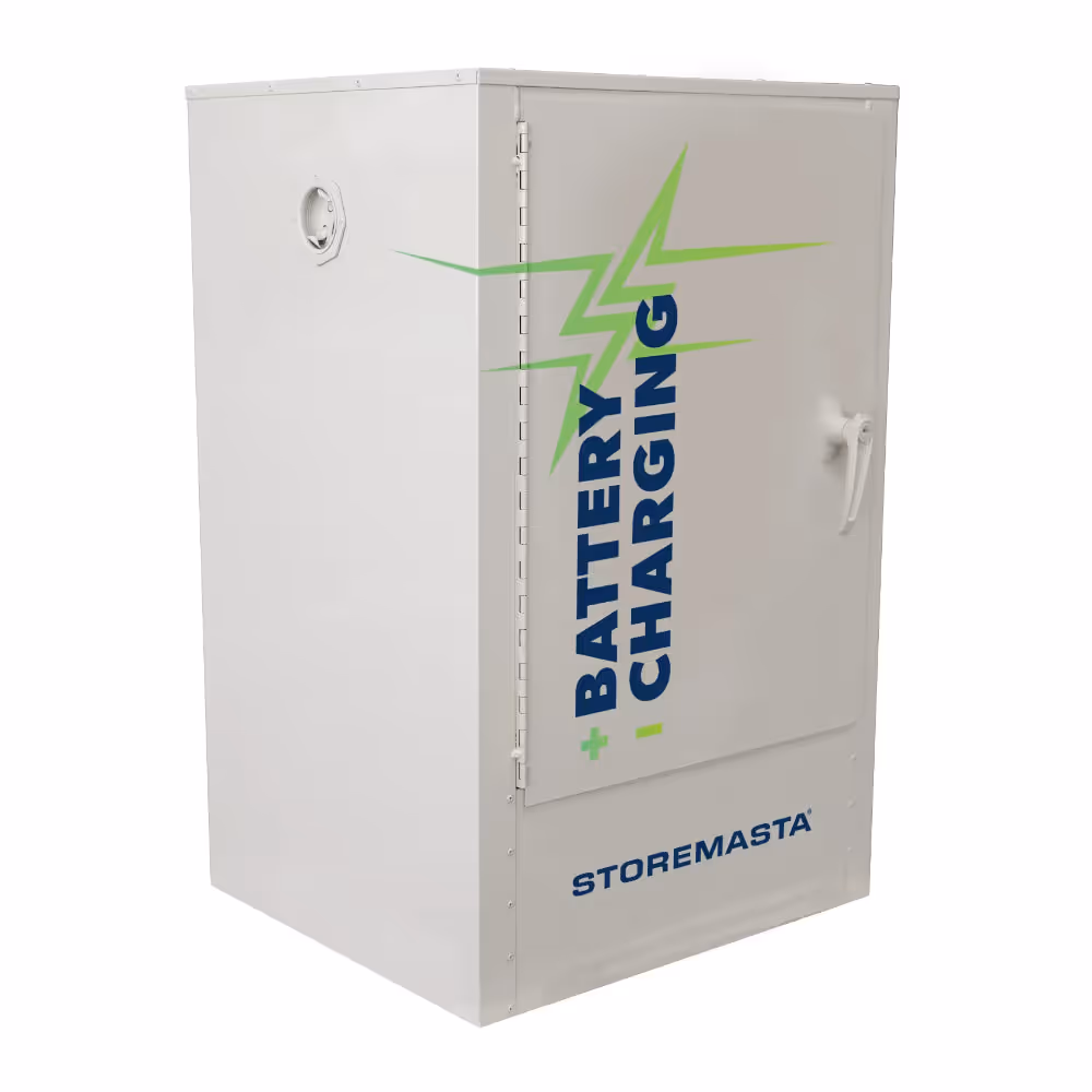
Storemasta
8 Outlet Battery Charging Cabinet
A$4,389.00
Enquire now
Storemasta
8 Outlet Battery Charging Cabinet
A$4,389.00
Enquire now


Collections: