


What is weed mapping?
Before killing weeds, an important first step is to map them out. This ensures you know where all the weeds are beforehand and allows you to target the specific areas. It also ensures delicate plants and crops aren't hit with weed killer when they don't need to be.
How does weed mapping work?
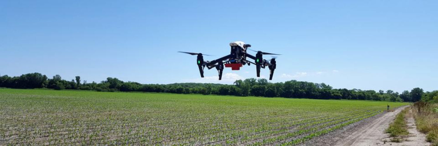
- A drone is sent up above a field that is due for weed removal. The drone will be set on an automatic flight path, ensuring it captures data for the whole field.
- The images captured are then processed and stitched together to create a map of the field. A RGB and multispectral camera are used to capture tell the weeds apart from the rest of the image.
- A spraying drone is then used to target the weeds and ensure they are killed before damaging the crops.
Benefits of using drones
- Weeds can be attacked at a faster rate as the drone can be setup and flying within minutes.
- The cost of weed mapping is lower when compared to using a low-flying surveying plane to capture weeds.
- Data accuracy is improved as the drone can fly lower and slower that a fast-moving aeroplane can.
Image: Cropwatch