


In Australia, mining success has traditionally been equated to a strong and prosperous economy. However, global competition, fluctuating commodity prices and spiralling operating costs have made mining a more challenging beast.
Drones are now, without question, a must-have mining tool. Even at their most basic ‘survey’ use, drones provide instant information to key personnel to help mining operations better manage their production, assets and land.
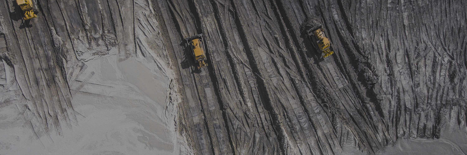
Here are just a few areas drones are lifting mining’s game.
Stockpile management and reporting
Traditionally, a surveyor physically walks around and takes measurements at numerous points on each pile in order to calculate stock volumes.
Today, with drone technology, you can now capture the entire stockpile in less than 30 minutes and see accurate volume calculations and comparisons within seconds. Site teams are now capturing data more frequently, faster, and at the same time, limiting the risk to personnel.
Planning and building
Drone data is now providing an accurate and up-to-date visualisation of worksites. With regular drone flights, sites can build up a visual record of changes over time, allowing site managers to check weekly and monthly mine volumes and compare the current against previous datasets.
Drilling and blasting
Potential blast areas can now be easily and inexpensively surveyed with a drone. The data is processed and accurate 3D models, orthophotos or digital point clouds are produced allowing for easy drill depth calculations and further analysis.
Inspections
Drones are the perfect tool to quickly and inexpensively inspect extensive or hard-to-access areas. High-resolution images including details and aspects that may not be visible from the ground can be easily secured.
Safety checks
Remote area surveys and inspections by drones reduce the risks to personnel by keeping them away from potentially hazardous mine locations. In addition, drone data helps teams better detect and monitor worksite hazards, improving overall site safety.
So what drones do we recommend for mining operations?
Microdrones
Microdrones have proven themselves to deliver reliable tools for tough jobs. Seen globally as the complete mapping solution, they are purpose-ready for mining operations and cover areas including mapping deposit site, surveying mines, exploring for minerals, monitoring stockpile volumes, tracking equipment and time-lapse photography.
Let’s look at a few models.
Quick deployment, extreme efficiency, ease-of-use and costs savings are words used for the MD1000-DG in mining applications.
Enjoying the benefits of direct georeferencing, it can produce the best possible accuracy and time savings with no ground control points. Its system ability enables highly efficient corridor mapping as well as the ability to collect images and post-process in a fraction of the time. From a cost perspective, projects require less people and equipment so mining operations can undertake mapping jobs in dangerous locations.
Some quick specs:
- Payload: up to 1.2 kg
- Flight time: up to 45 minutes depending on conditions
- Area covered in one battery charge: 80 hectares
- Sensor: Sony rx1rii (42.4-megapixel camera)
- Georeferencing method: Direct georeferencing technology with Nadir mount
Microdrones mdLiDAR
Microdrones has developed an end-to-end LiDAR solution combining a drone, a LiDAR payload and a fully integrated software workflow. The mdLiDAR1000 is a fully integrated system for producing 3D point clouds optimised for mining applications.
It has easy, end-to-end workflow including:
- Simple mission planning using mdCockpit
- The user inputs the point density or flying height and drone speed
- Fully automated mission execution and realtime mission monitoring using mdCockpit
- Thorough georeferencing data processing using POSPac UAV
- Automated final point cloud processing using mdLiDAR processing software
- Thorough georeferencing data processing using POSPac UAV
- Automated final point cloud processing using mdLiDAR processing software
Overall, an ideal choice for high-accuracy, geospatial data collection in mining applications including corridor mapping and volume calculations.
For imagery and sensing, it comes with an embedded MicaSense RedEdge Multispectral camera. This remarkable camera has the ability to produce narrow and calibrated spectral bands with near infrared capability which, as noted, is beneficial in both vigour and pest detection. It also produces frequencies of light that work in with globally recognised crop indexes – Normalized Difference Vegetation Index (NDVI) and Normalized Difference Red Edge (NDRE).
Delair UX11
The UX11 is a fixed wing drone enabling highly efficient flight characteristics for long flight times, which equates to excellent area mapping for mining applications.
An established and efficient mining ops drone, it is easy-to-fly and delivers integrated features for before, during and after flight operations, including an embedded global shutter camera, intuitive analytics, data reporting tools, post-processed kinematic (PPK) capabilities for high-quality results and both 2.4 GhZ wireless and 3G/4G cellular connectivity.
The drone’s end-to-end system, combined with its operational performance benefits is said to significantly lower the total cost of ownership compared to other surveying and mapping options.
The UX11 is also hand-launched, has fully autonomous flights and a revolutionary ‘bird-like’ landing via its deep angle stall and flare out just above the ground. This allows it to land in very confined areas.
Some key specs:
- Allows you to map large areas faster. Cover 2.1 km² with 1.7 cm GSD at 122 m flight height.
- Industrial camera with optional PPK activation for survey grade results down to 1 cm precision.
- BVLOS-ready communications – mobile connectivity via 3G network (4G-ready) for unlimited range or optional radio link -ideal for sprawling mine sites.
- Precise takeoffs and landings – high-angle (30 degrees) takeoffs and landings for use in confined areas, low-speed landing using distance measurement technology
- Easy-to-use Android™ mission planning and monitoring app – pre-flight checklist, no-fly zones, modern user interface, in-flight data review.
Overall an excellent mining drone option that is easy and stable to use for large area mapping with centimeter-level precision and (optional) PPK for survey grade results.
Talk to drone mining application experts
If you are new to drone technology, we highly recommend you speak to a UAV specialist that can advise you on both drone options and the best approach to your mining application.
Sphere Drones is arguably Australia’s leading source of expertise on commercial drone technology and mining solutions in Australia.
Their Sydney-based operation is a state-of-the-art solutions development facility with some the UAV industry’s leading personnel – making it (or their website) a logical first stop to identify a solution for your commercial needs.