Related products

SPH Engineering
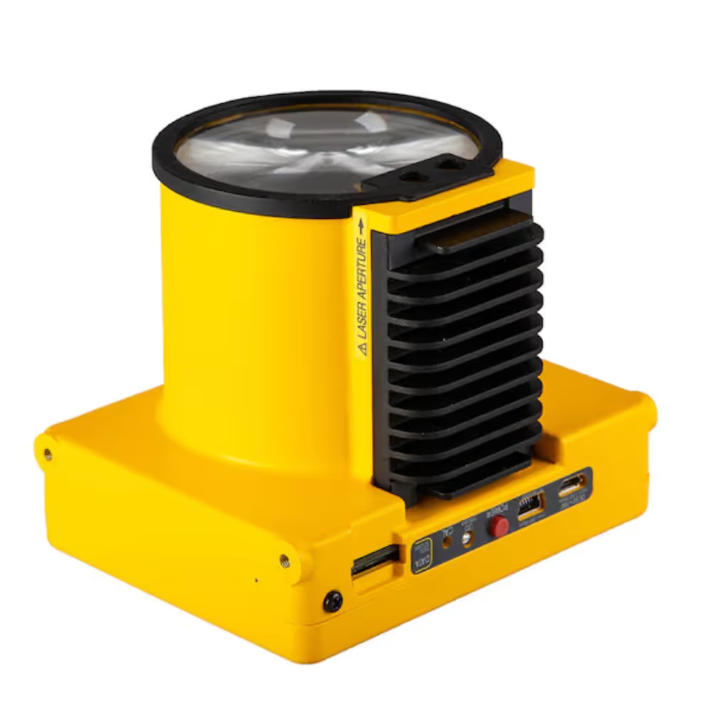
Laser Methane Detector (Laser Falcon)
A$41,030.00
Enquire now
SPH Engineering
Laser Methane Detector (Laser Falcon)
A$41,030.00
Enquire now

Flyability
Flyability - ELIOS 2 Battery (18.5V 5200mAh) Pack of 3
A$1,584.00
Enquire now
Flyability
Flyability - ELIOS 2 Battery (18.5V 5200mAh) Pack of 3
A$1,584.00
Enquire now
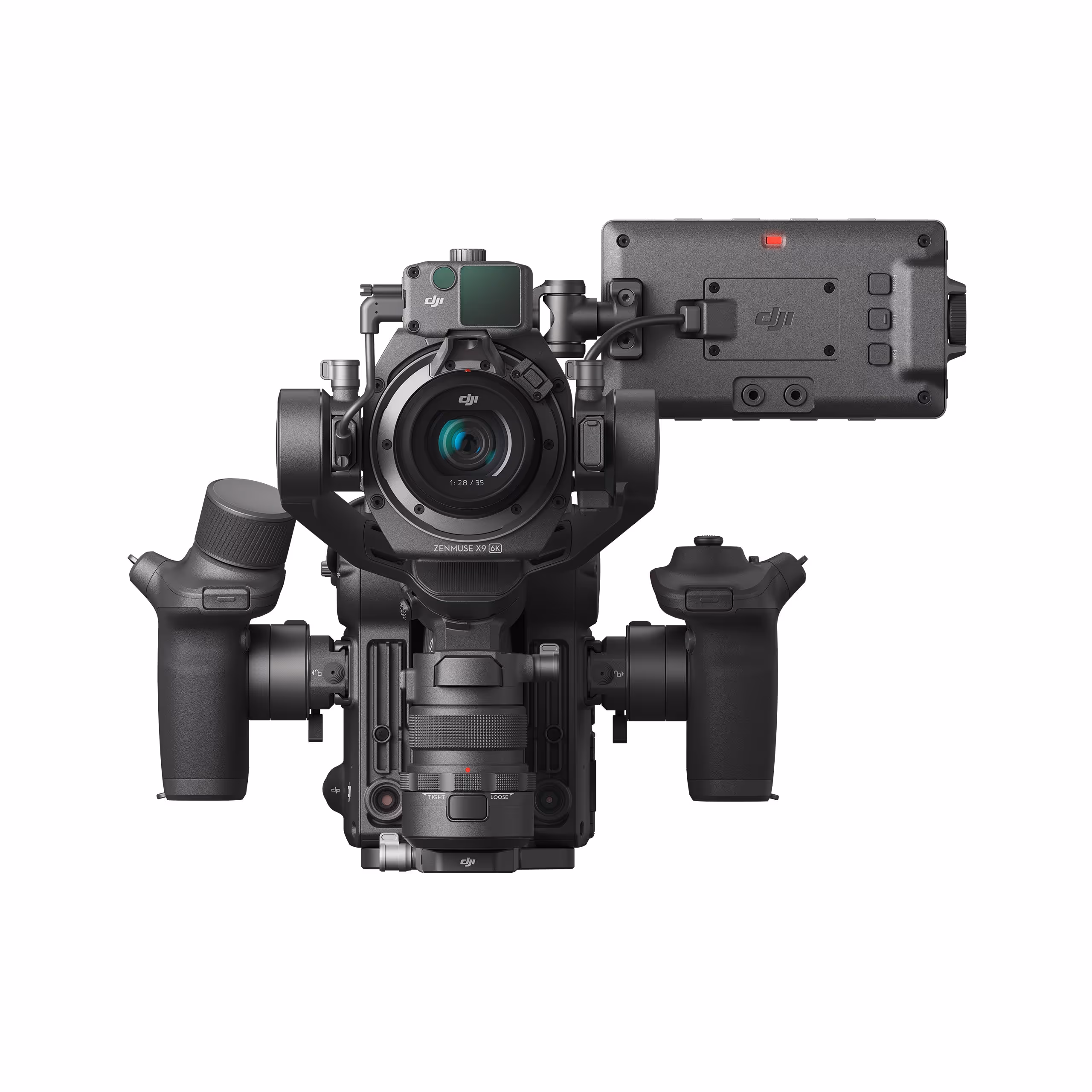
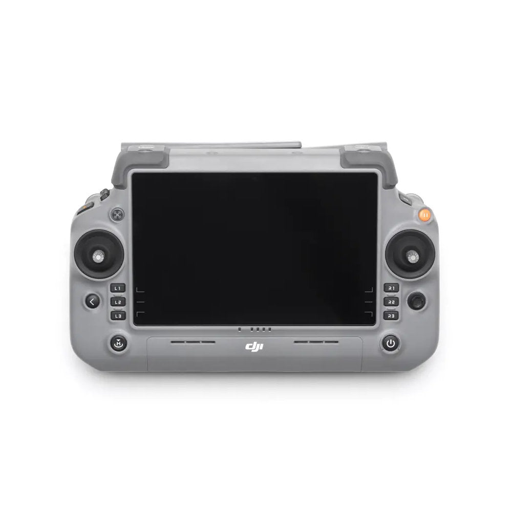
DJI
DJI Ronin 4D 4-axis Cinema Camera 8k Combo
A$14,889.00
Enquire now
DJI
DJI Ronin 4D 4-axis Cinema Camera 8k Combo
A$14,889.00
Enquire now

SPH Engineering
UgCS - PRO Annual
A$1,855.00
Enquire now
SPH Engineering
UgCS - PRO Annual
A$1,855.00
Enquire now

Collections:
No related collections have been found.