Related products

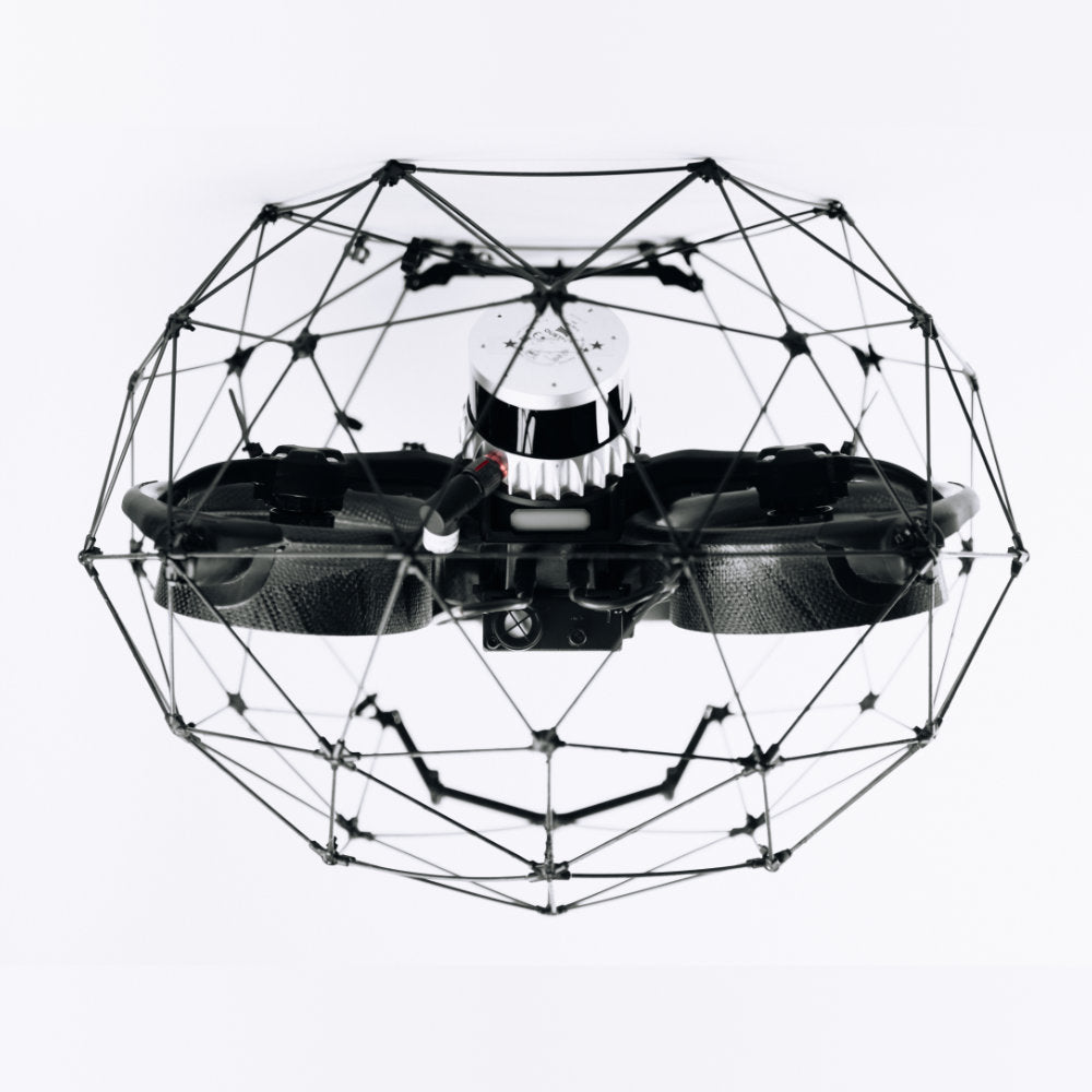
Flyability
Flyability - ELIOS 3 Remote Controller and Video Receiver
A$4,400.00
Enquire now
Flyability
Flyability - ELIOS 3 Remote Controller and Video Receiver
A$4,400.00
Enquire now
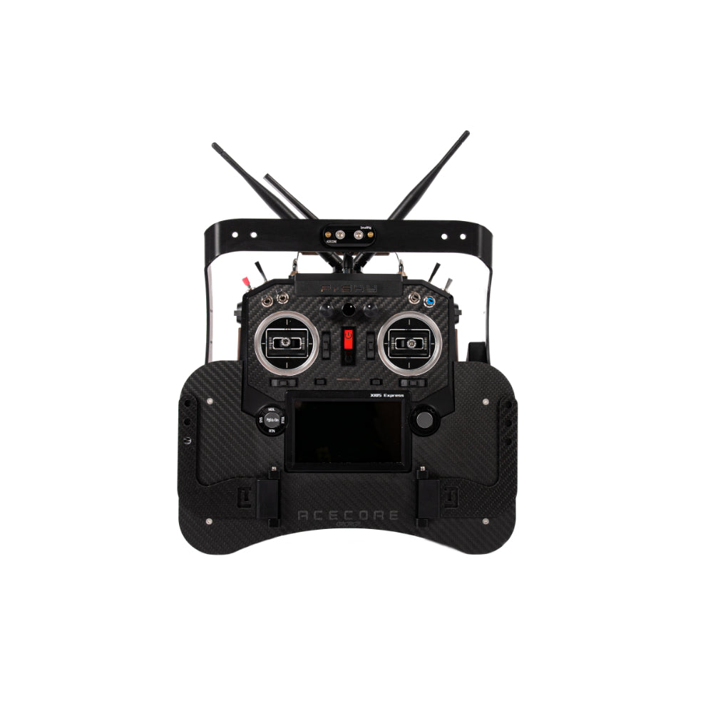
Acecore Technologies
Acecore FrSky Controller
A$0.00
Enquire now
Acecore Technologies
Acecore FrSky Controller
A$0.00
Enquire now

SPH Engineering
RadSys Zond Aero 500 GPR system
A$41,915.00
Enquire now
SPH Engineering
RadSys Zond Aero 500 GPR system
A$41,915.00
Enquire now
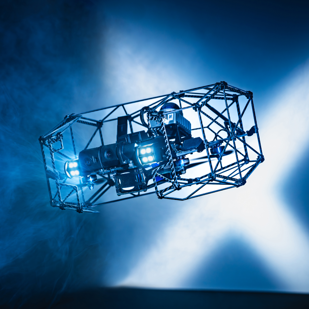
Flyability
Flyability Elios 3 Surveying Payload
A$0.00
Enquire now
Flyability
Flyability Elios 3 Surveying Payload
A$0.00
Enquire now
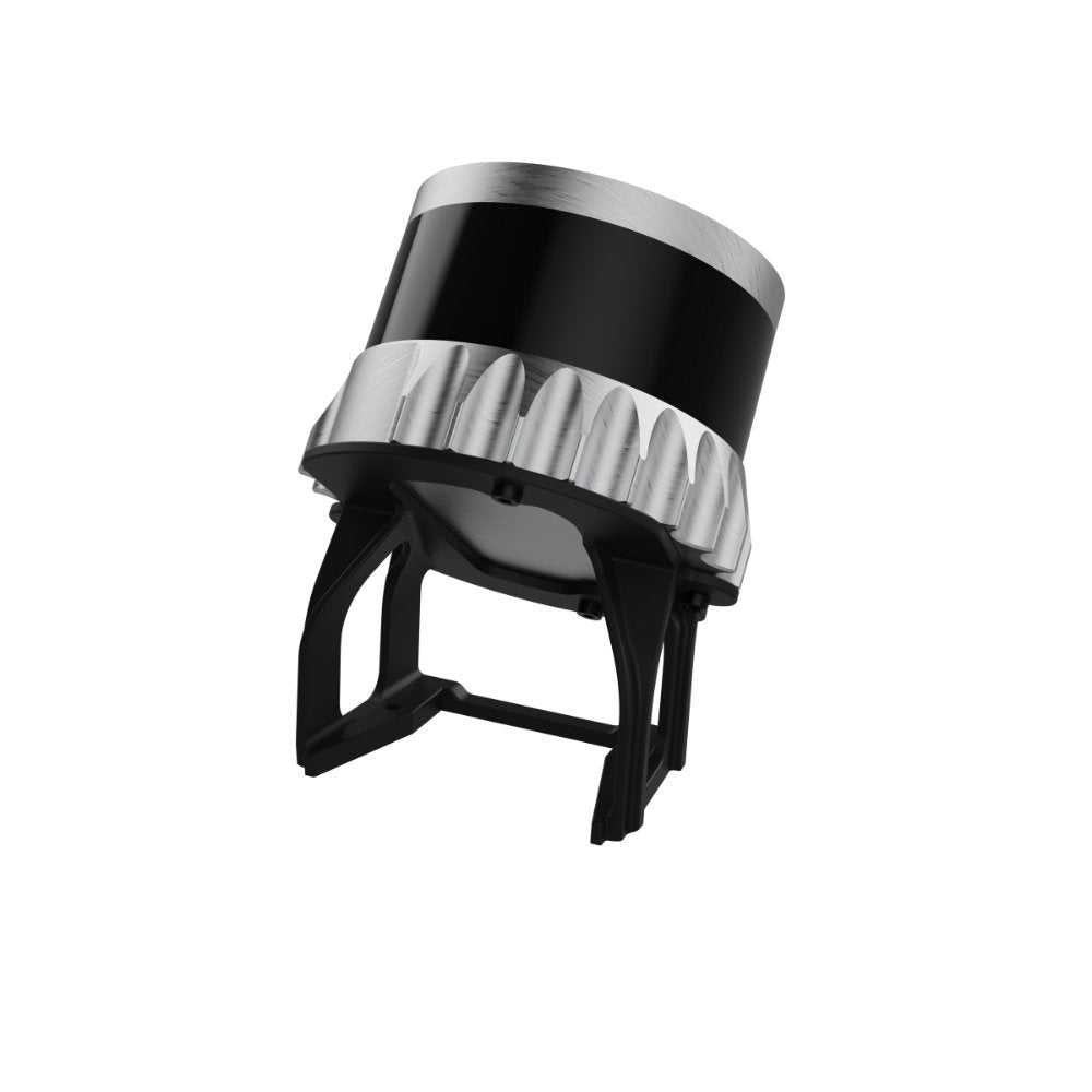
Flyability
Flyability Elios 3 Flammable Gas Sensor
A$0.00
Enquire now
Flyability
Flyability Elios 3 Flammable Gas Sensor
A$0.00
Enquire now

Collections:
No related collections have been found.